kaska

An independent engineering practice.

↙ Back to the landscape

01 / FIELD OPERATIONS

Snowbound
Solutions
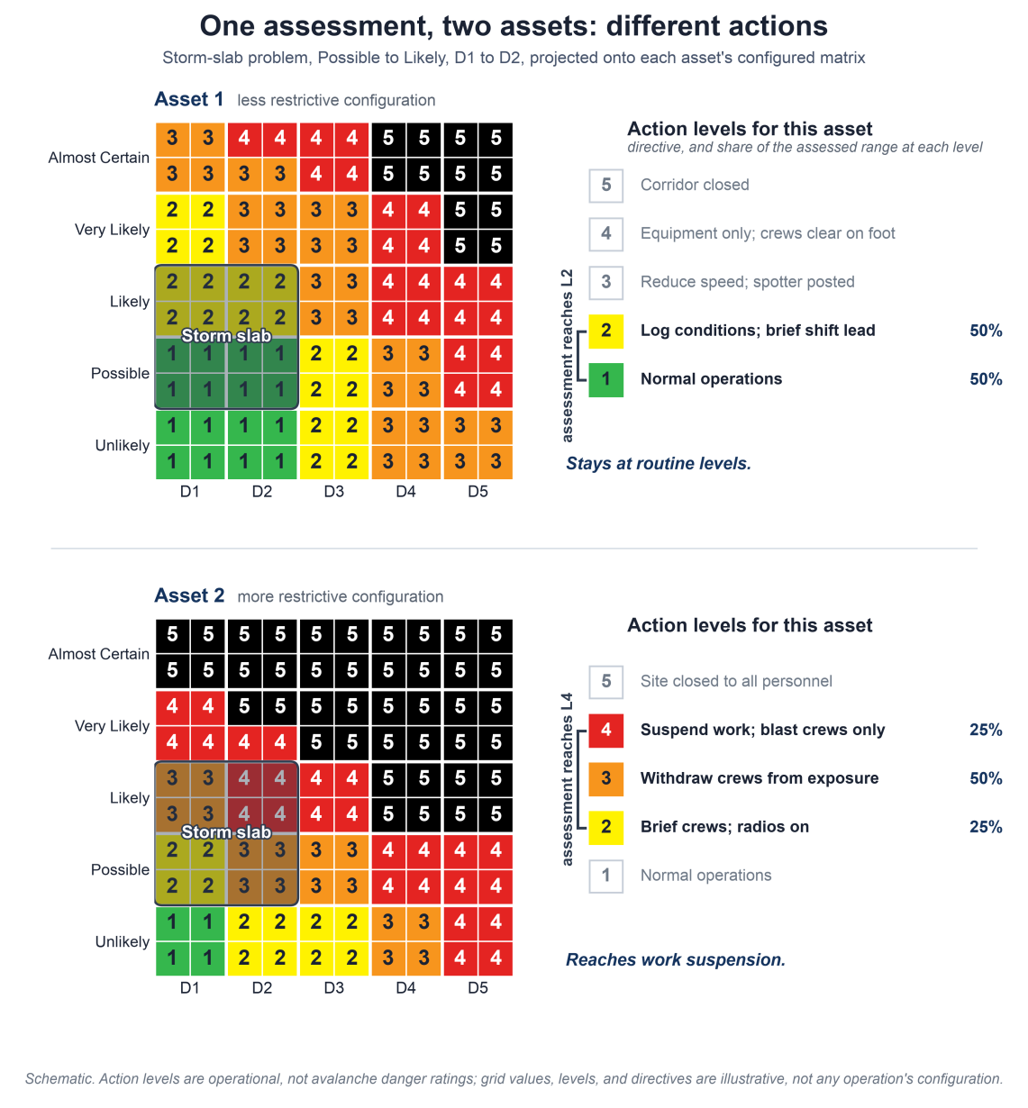
Two matrices show how the same storm-slab assessment produces routine actions for one asset and work suspension for another.View diagram ↗
One assessment, two assets, different actions.Careaga et al., ISSW 2026. Schematic. Action levels are not avalanche danger ratings; values and directives are illustrative.

SnowObs · Product & engineering

Connecting avalanche hazard assessments to an operation’s planned actions. Workflow design and implementation, followed by first-season analysis.

Read the ISSW paper ↗
02 / PUBLIC INFORMATION

National
Avalanche Center

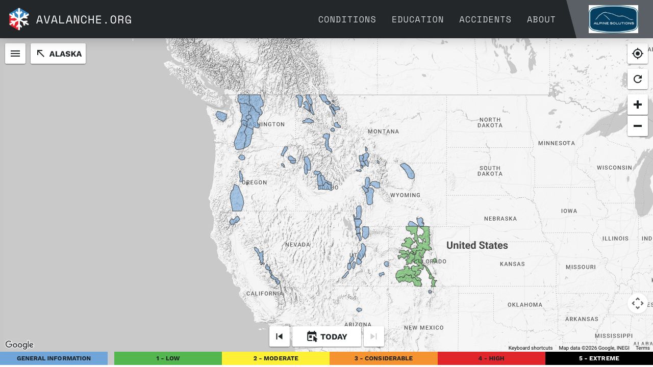
Avalanche.org’s public map of western US forecast areas, with geographic boundaries, controls and the avalanche danger legend.View map capture ↗
The public-facing forecast map · Avalanche.org / A3 & USFS NAC.Reference capture, 13 November 2026. Map data ©2026 Google, INEGI.

Publishing tools & APIs
Snowbound Solutions

Software that helps avalanche centers publish forecasts and observations to their websites and other applications.

Visit Avalanche.org ↗

Drag to move. Shift, Control or right-drag to orbit. Scroll or pinch to zoom toward the pointed-at ground. Two fingers rotate and tilt. Arrow keys move; Shift with arrows orbits; plus and minus zoom; Home resets.